As part of a regular series on the meaning of place-names in the Territory, this latest edition focuses on areas the field team will be studying this season.
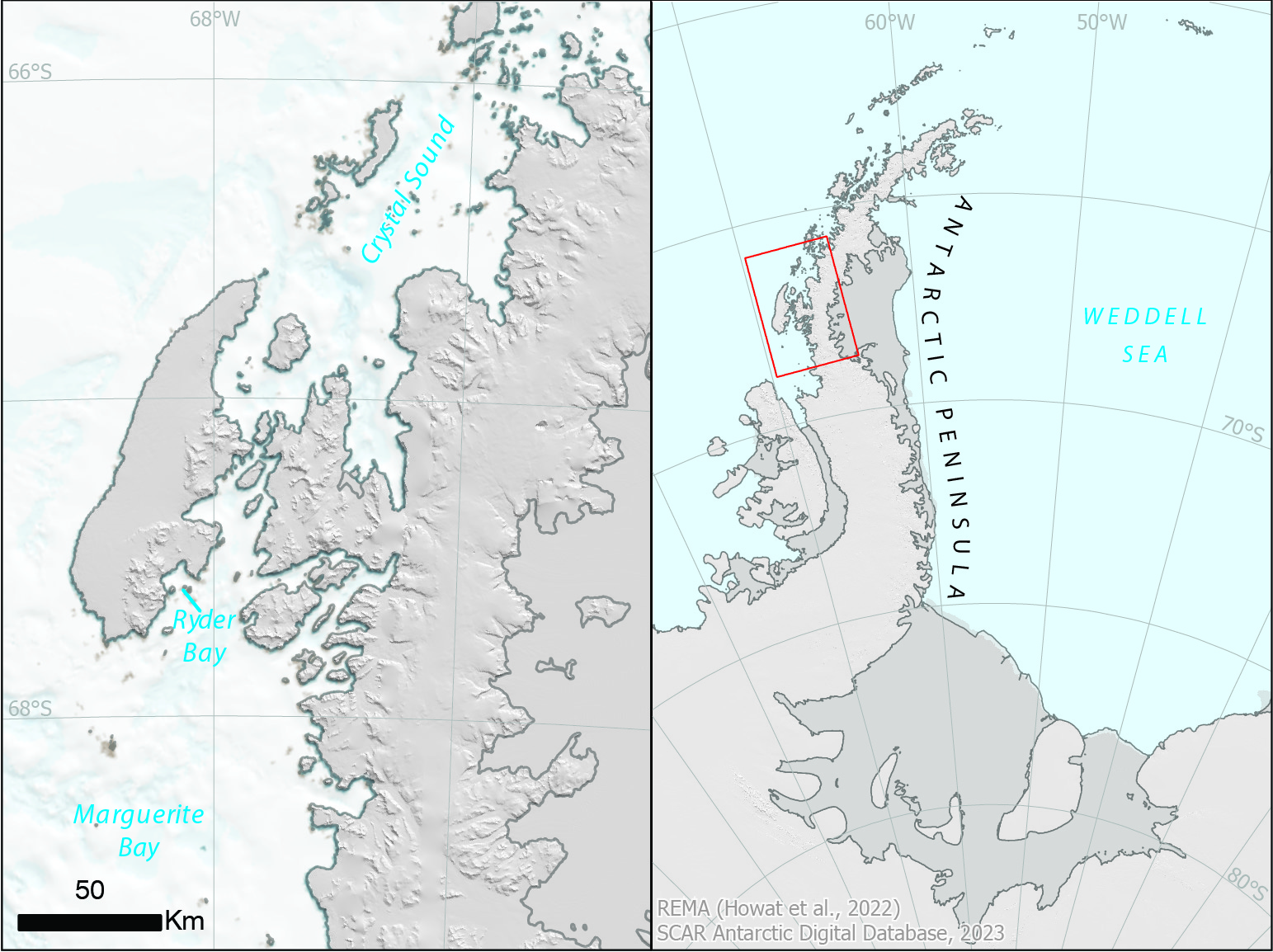
The 2023-24 BAS field season is well underway and we’re highlighting some of the interesting places staff will be studying. One team operating out of Rothera is studying the differences in ecology, distribution and foraging success of crabeater seals along the western Antarctic Peninsula. The field team used aerial photography from a Twin Otter in Marguerite Bay and
Crystal Sound.
Marguerite Bay was surveyed as part of the French Antarctic Expedition (FAE) in 1909, and named for the wife of Dr Charcot, Commander of FAE. Ryder Bay was roughly mapped during the same French Antarctic Expedition in 1909 and again by the British Graham Land Expedition
(BGLE) in 1936. It was surveyed by Falkland Islands Dependencies Survey (FIDS) in October 1948 and named after Major Lisle Ryder, who served in the BGLE.
Further north, Crystal Sound was first sighted by the FAE in 1908-10, and first traversed by The Penola as part of the BGLE, after air reconnaissance, in February 1936. Most of the Sound and its islands were photographed by Falkland Islands and Dependencies Aerial Survey Expedition
(FIDASE) in 1957, and the Sound named after the group of local place-names for scientists who studied the structure of ice crystals.
For information about British Antarctic Territory place-names and guidelines on how to submit new proposals, visit the Committee website.
Credit
With thanks to the British Antarctic Survey for the text.